Our Case Studies
Discover how our satellite monitoring technology is transforming industries and delivering measurable results for organisations worldwide.
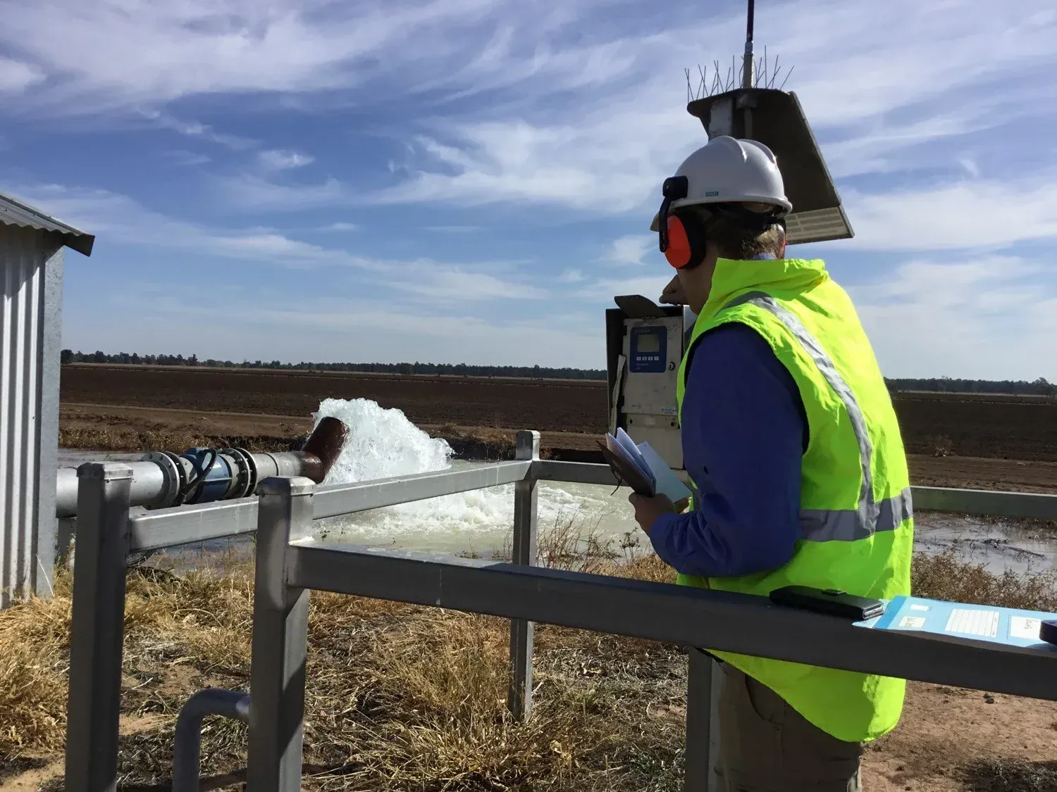
Water license compliance monitoring in NSW
Government Water Authority
Transformed NSW water compliance from manual inspections to satellite-based screening, enabling proactive monitoring of 10,000+ agricultural properties for potential non-compliance.
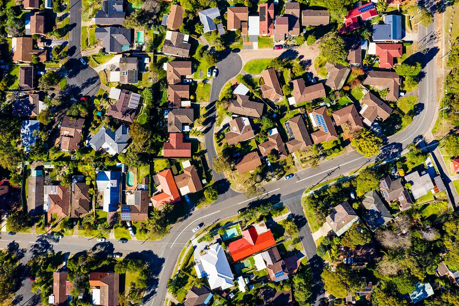
Evidence-based environmental policy in the ACT
ACT Government Sustainability
20-year satellite analysis of urban growth impacts on the ACT's ecosystems and threatened species, directly informing 15 policy recommendations for environmental protection.
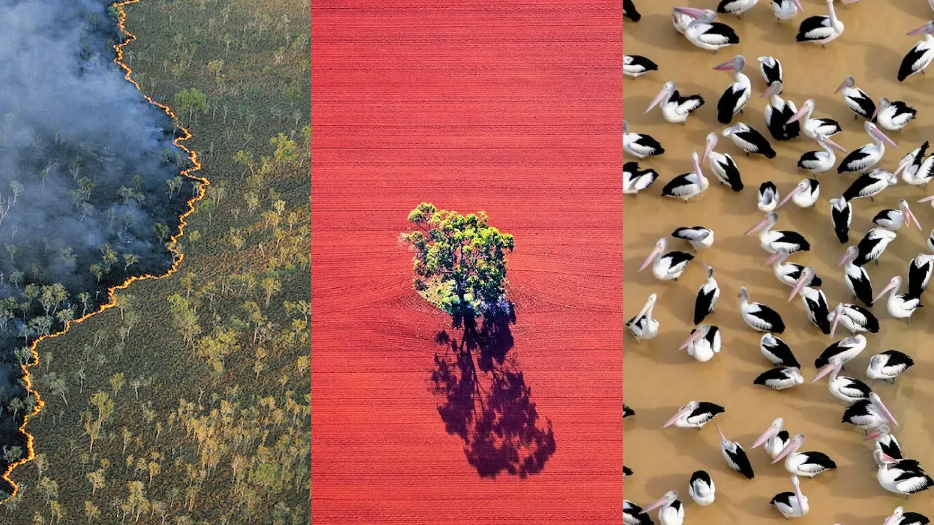
Annual environmental reporting across Australia
TERN & ANU Environmental Monitoring
Powering Australia's Environment Report with complete data infrastructure - transforming continental-scale monitoring from supercomputer batch processing to on-demand analytics accessible to researchers, managers, and the public.
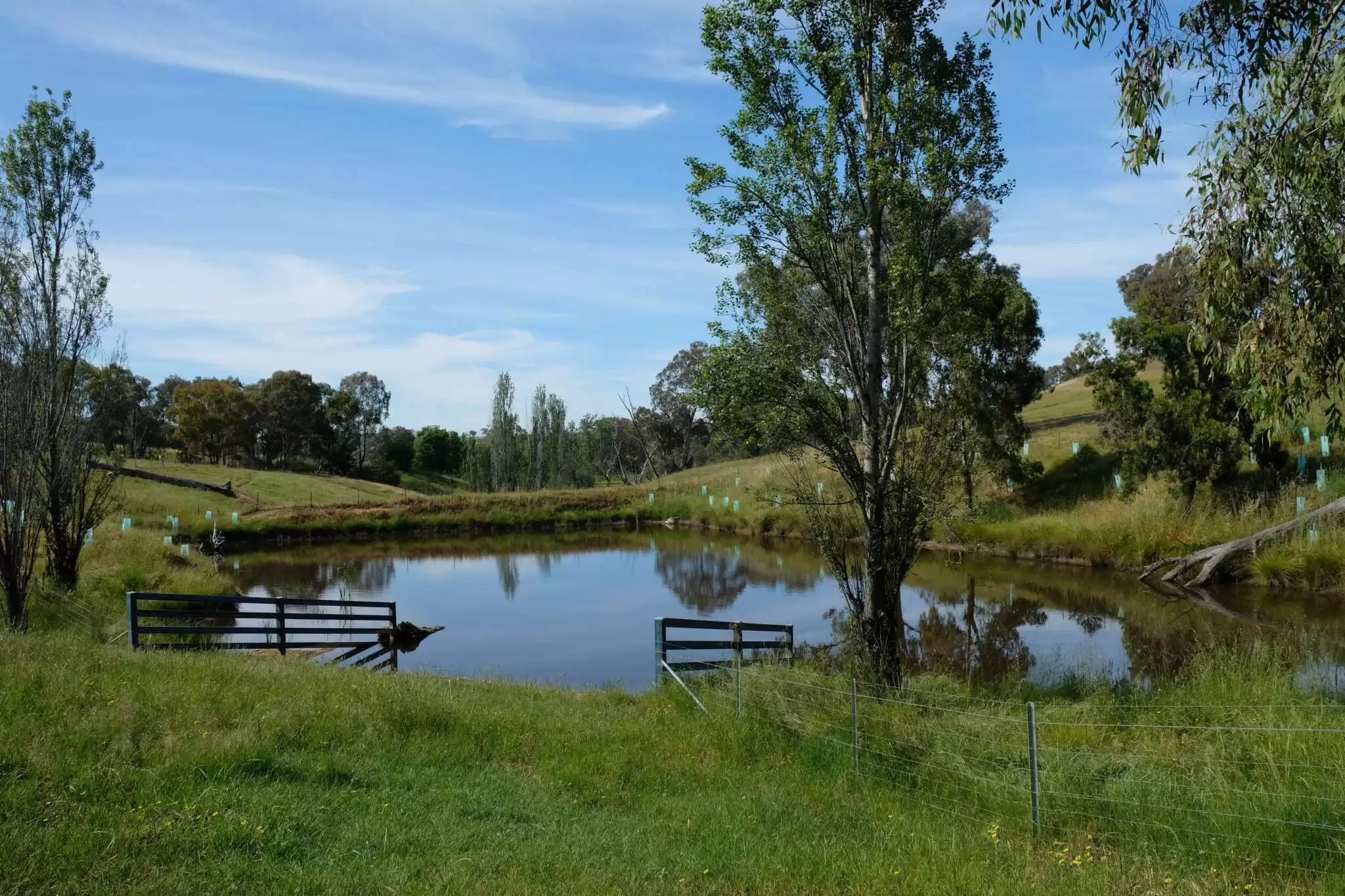
Enabling Australia's Nature Repair Market
Australian Government
Powering Australia's world-first Nature Repair Market with real-time environmental impact calculations, enabling landholders to instantly assess biodiversity and carbon benefits of proposed projects anywhere in Australia.
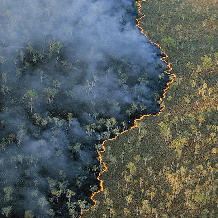
Continental bushfire intelligence with an AI agent
OzHazard — Terrakio Agent in production
An always-on AI agent watching Australia for wildfire: fusing FIRMS thermal detections, Himawari imagery, lightning feeds and agency records into named, correlated incidents — published live to a public dashboard and a government-ready API.
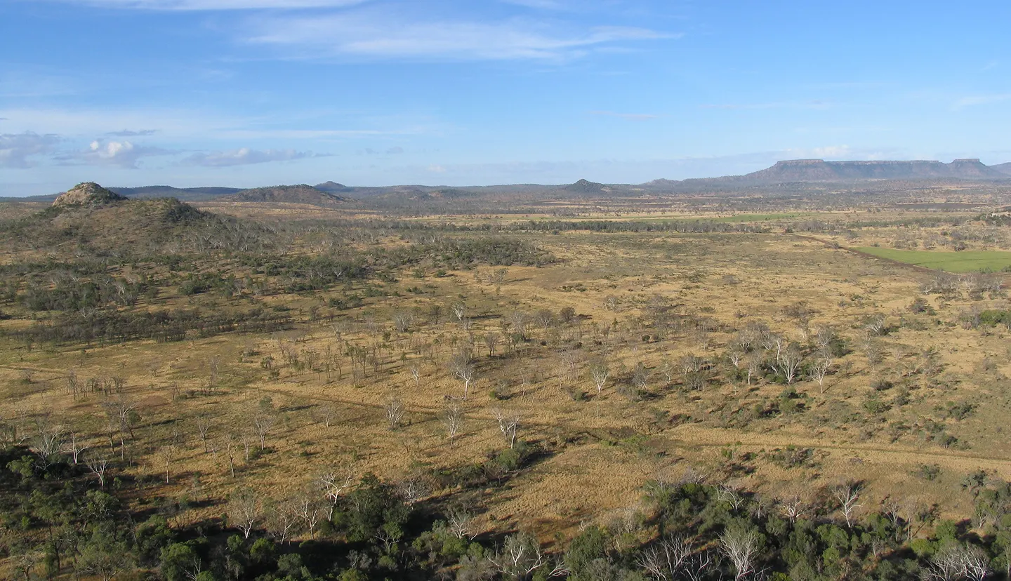
Monitoring Australia's changing tree and forest cover
VMAP — ANU & Haizea Analytics
An annually updated, AI-driven map of forest extent and loss across Australia since 2020 — trained on airborne LiDAR, powered by Terrak.io over the full Sentinel-2 archive, freely accessible for non-commercial use.

About Us
At Haizea, we combine deep scientific know-how with advanced AI to make satellite and climate data truly relevant.
With many years of experience in large-scale geospatial data analysis and AI model development, we help government, research and industry accelerate their climate and environmental projects — solving the hard data problems that hold others back.
Ready to transform your operations?
Join our growing list of successful clients. Let's discuss how satellite monitoring can revolutionize your workflow and deliver measurable results for your organisation.